Some walks stay with you for years, and for us the Path of the Gods (Sentiero degli Dei) is one of them. We set off early in the morning from the plateau of Agerola and arrived in Positano with our eyes full of sea, rocks and terraces. Here we tell you how to tackle it and what to expect.
A trail suspended above the coast
The Path of the Gods links Bomerano, a hamlet of Agerola in the province of Naples, with Nocelle, a hamlet of Positano. It runs halfway up the slopes of the Lattari Mountains, the ridge that separates the Sorrento Peninsula from the Amalfi Coast, and along its entire length it offers sweeping views over the Gulf of Salerno.
For centuries this was one of the few routes connecting the villages of the coast, before the coastal road was built in the Bourbon era. It was a mule track used by farmers and shepherds; today it is one of the most famous hiking trails in Italy, also looked after by volunteers from local associations and the CAI (Italian Alpine Club).
The name and the legend
Where does such an evocative name come from? A legend says it was the road taken by the Greek gods to rescue Ulysses from the Sirens, who according to myth lived on the islets of Li Galli, right opposite Positano. Italo Calvino was struck by it too and described it as a road suspended above the gulf of the Sirens: one of his sentences now welcomes hikers at the starting point in Bomerano.
The route, stage by stage
The classic, “lower” version runs from Bomerano to Nocelle and is about 7–8 kilometres long, almost all gently downhill or on the flat. Allow 3 to 5 hours of walking, including stops. There is also a more demanding “upper” variant, which heads towards Montepertuso and reaches higher altitudes.
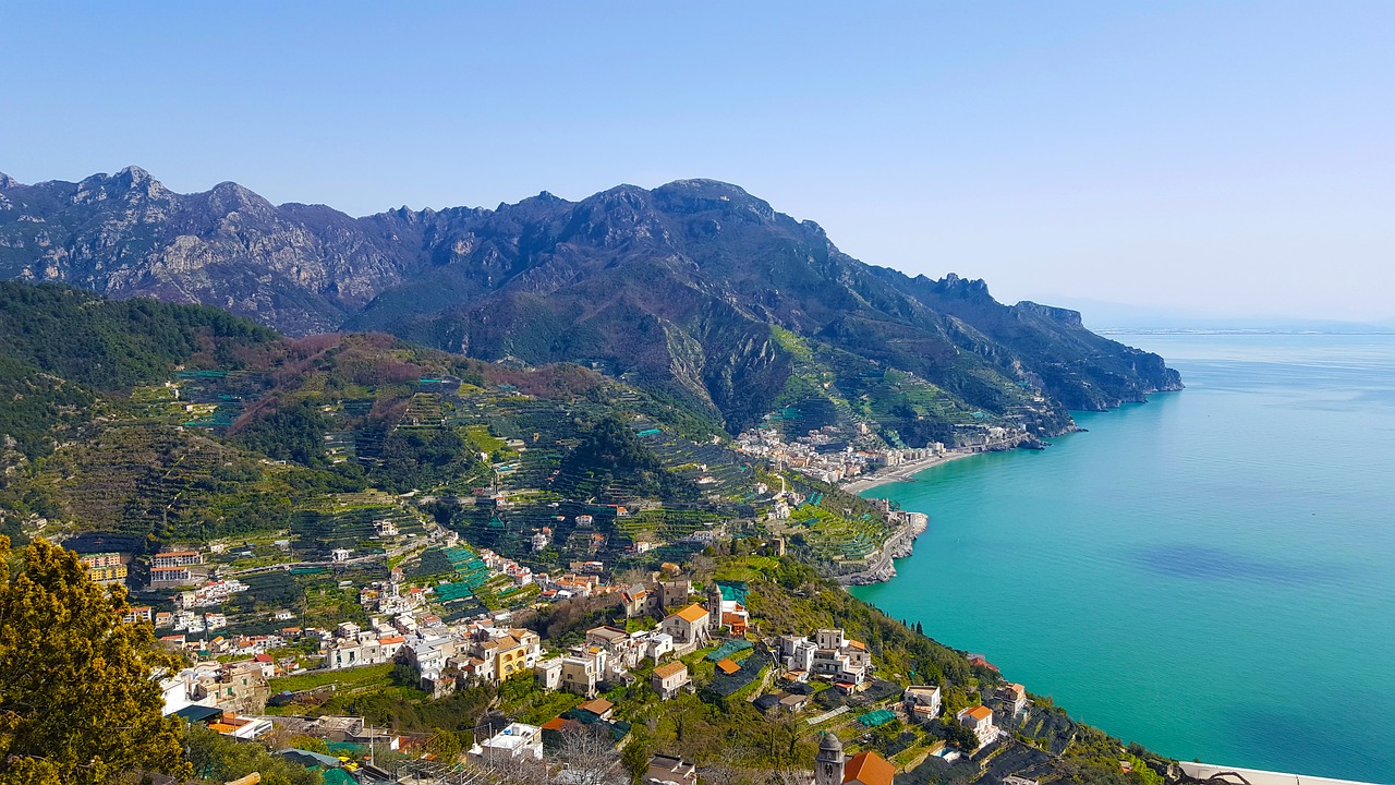
Along the way you pass the Grotta del Biscotto, a cave beneath rock walls a couple of hundred metres high, and cross stretches of Mediterranean scrub alternating with cultivated terraces. From up high you can see Praiano, the villages of the coast and, on clear days, Capri on the horizon. We stopped several times just to look: it’s impossible not to.
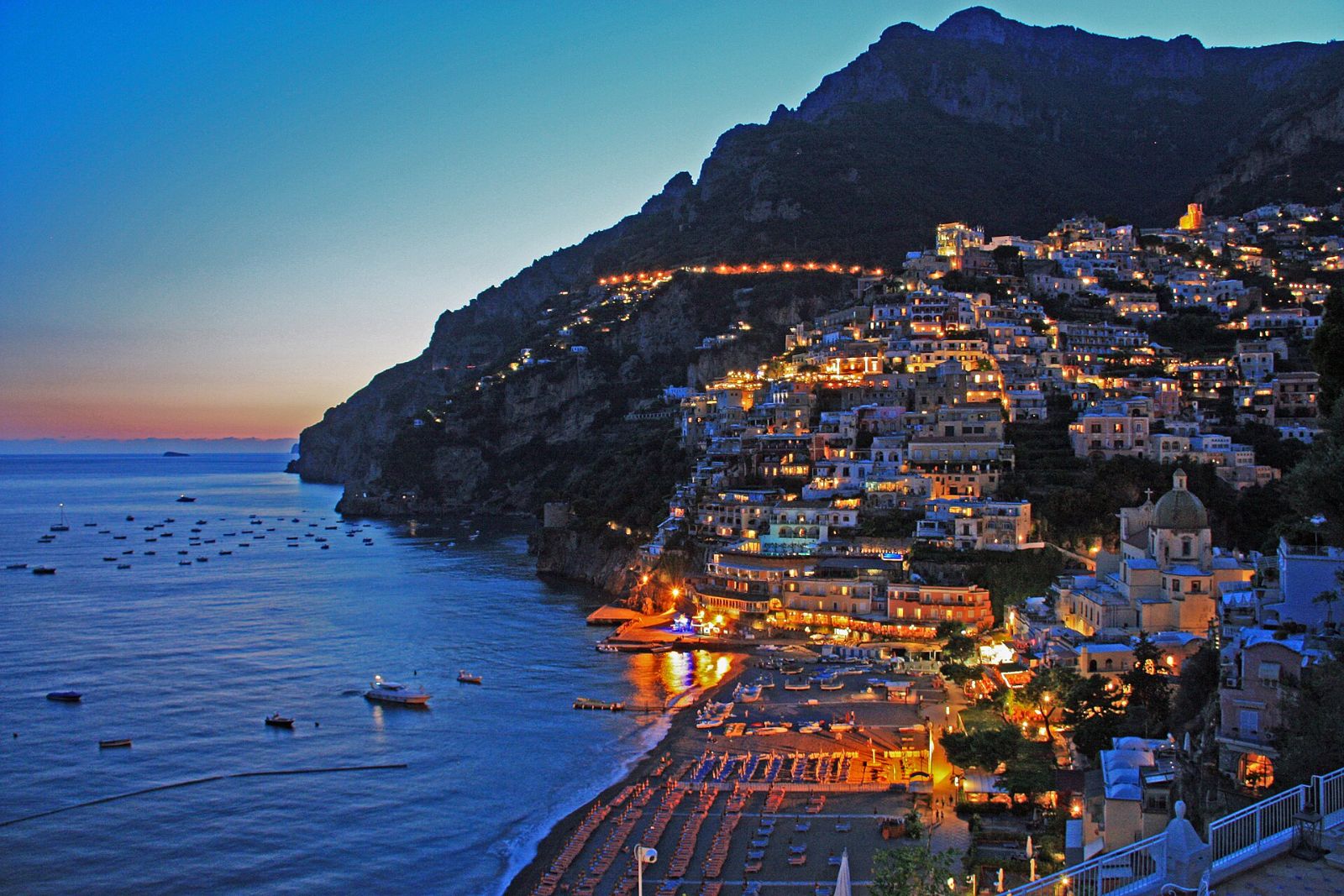
Once in Nocelle you have two options: walk down to Positano on a staircase of more than 1,700 steps, or take the local bus. Your legs will thank you for the second choice, but the descent on foot among lemon trees and colourful houses has its own charm.
Practical tips
The path requires no mountaineering skills, but there are uneven sections, stone steps and stretches exposed to the sun. We recommend hiking shoes, plenty of water, a hat and sunscreen. Avoid rainy days, when the stones become slippery, and the middle hours of summer days. Set off early: you’ll find fewer people and beautiful light over the sea.
Bring something to eat as well: there are few refreshment points along the route, and a break in the shade overlooking the gulf is one of the pleasures of the day. If you’re walking with children, choose the lower version and plan more breaks; the route is suitable for them too, as long as they are used to walking. Finally, remember that the path crosses farmed and inhabited land: respect the dry-stone walls, don’t leave litter and follow the waymarks.
How to get there and when to go
To reach Bomerano you can take the scheduled bus from Amalfi that climbs up to Agerola; by car you can get there either from the Amalfi Coast or from the Castellammare di Stabia side. If you leave your car in Agerola, remember that you’ll then have to come back by public transport. The best months are April, May, September and October, with mild temperatures and often clear skies.
Nearby
To plan the rest of your trip, start from our guide Salerno and surroundings. Once in Positano, read Positano and Praiano: what to visit; if you love walking, you’ll also enjoy the Valle delle Ferriere and the Fjord of Furore. For another gem of the coast there’s Atrani, the smallest village in Italy.
Top photo (Positano): JeCCo, CC BY 4.0, via Wikimedia Commons.
Read also: The Pertosa-Auletta Caves