Church
Sanctuary of the Madonna del Carmine in Montefalcone di Val Fortore
Santuario della patrona di Montefalcone di Val Fortore, nato da una cappella del 1604 e meta di pellegrini a metà luglio.
Mountain · Montefalcone di Val Fortore (BN)
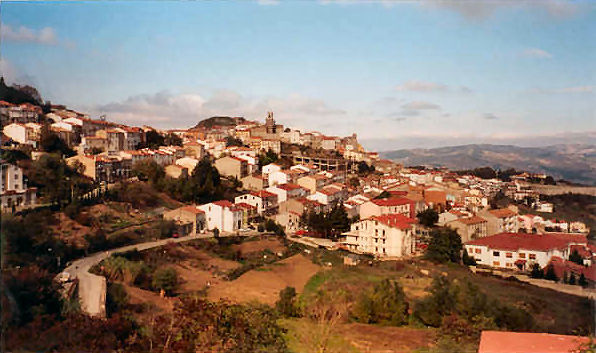
An 886-metre peak at Montefalcone di Val Fortore, on the Apennine watershed where the River Fortore rises.
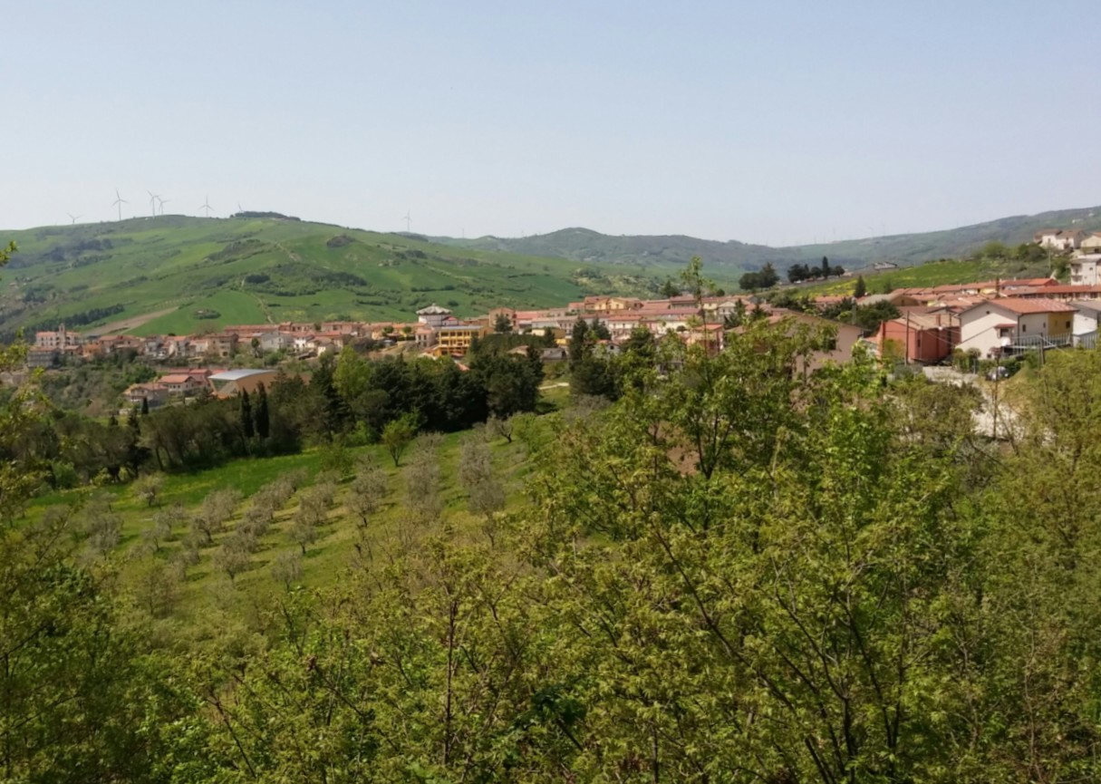
In the territory of Montefalcone di Val Fortore rises Monte Altieri, an 886-metre summit along the watershed of the Campanian Apennines. It is a mountain that truly marks a boundary: from here the waters divide between two seas, the Adriatic and the Tyrrhenian.On its northern slope the River Fortore rises and flows towards the Adriatic, while at its southern foot runs the Ginestra stream, a tributary of the Miscano, whose waters reach the Tyrrhenian. We love the idea of standing on this geographical ridge in the heart of the upper Sannio. We recommend including it in an itinerary to discover the Val Fortore and its landscapes.
Do you have a photo of this place? Send it to us: we will publish it with your name.
Church
Santuario della patrona di Montefalcone di Val Fortore, nato da una cappella del 1604 e meta di pellegrini a metà luglio.
Within a few kilometres, closest first.
Church · Ginestra degli Schiavoni · 3,7 km
Chiesa madre di Ginestra degli Schiavoni, inaugurata nel 1986 con una pianta circolare e una copertura a ombrello.
Village · Ginestra degli Schiavoni · 3,7 km
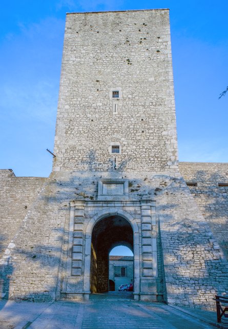
Borgo medievale cresciuto attorno a una torre normanna su un promontorio calcareo, ridisegnato nel Settecento dopo il terremoto del 1688.
Church · Castelfranco in Miscano · 5,0 km
Chiesa di Castelfranco in Miscano con una scultura quattrocentesca in arenaria sul portale e un tabernacolo in marmi di Francia.
Church · Castelfranco in Miscano · 5,1 km
Piccola chiesa del quartiere Piesco, riaperta nel 1998 dopo terremoti e un incendio, un tempo con un convento francescano.
Church · Foiano di Val Fortore · 6,1 km
Chiesa madre cinquecentesca di Foiano di Val Fortore, in piazza San Giovanni, con facciata neoclassica e tre navate.
Church · Foiano di Val Fortore · 6,1 km
Piccola chiesa di Foiano di Val Fortore datata al 1701, a pianta rettangolare con muri in pietra e volta a botte.
Church · Casalbore · 8,1 km
Grotta di culto micaelico fin dall'età longobarda, lungo antichi tratturi, con cappella annessa e due pellegrinaggi l'anno.
Museum · Casalbore · 8,6 km
Santuario italico del III secolo a.C. a Macchia Porcara, forse dedicato alla dea Mefite, presso il tratturo.
Itineraries, events and flavours: an email now and then, no pushy advertising.