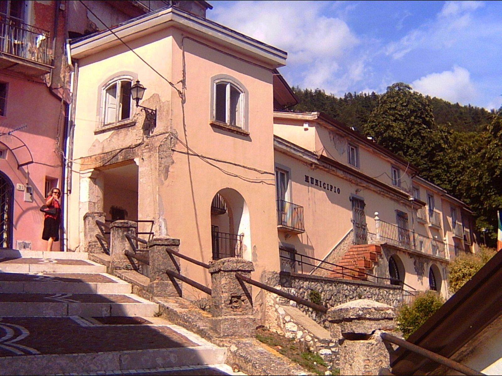
Reaching Lake Matese after the hairpin bends climbing up from the plain is always a small surprise: at a certain point the road opens out and before us appears a sheet of water surrounded by mountains approaching two thousand metres. We've been here in different seasons, and each time the lake has felt like a new place. Here's what to know before you go and what not to miss.
Where the lake is
Lake Matese lies at an altitude of about 1,014 metres, in a grassy basin at the foot of Monte Miletto (2,050 metres, the highest peak of the massif) and the Gallinola (1,923 metres). Its shores fall within two municipalities in the province of Caserta: San Gregorio Matese and Castello del Matese. Historically, Piedimonte Matese and San Potito Sannitico also held ancient rights over the waters and pastures around the basin.
It is considered the highest karst lake in Italy, and that alone is enough to make it special. All around, the landscape is made up of beech woods, upland meadows and limestone cliffs: an environment that can be covered in snow in winter and becomes a cool refuge in summer for those escaping the heat of the plain.
A karst lake, with sinkholes and underground waters
The lake has no real inflowing rivers: it is fed by snowmelt from the surrounding peaks and by a few perennial springs. Being karst in nature, the water tends to vanish underground through sinkholes, natural cavities in the rock. The main ones are in three places called Brecce, Fosso Caporale and Scennerato.
It was precisely this feature that led to the lake being used to produce energy. In the 1920s the Società Meridionale di Elettricità built earth embankments at the sinkholes to hold back the water and use it in a hydroelectric power station commissioned in 1926. At full capacity, the basin could hold about 14 million cubic metres of water.
Nature and birdwatching
The marshy shores and aquatic vegetation make the lake a precious place for birds. Species you can spot include the mallard, several diving ducks, the coot and, occasionally, the white stork. The waters are home to pike, tench, carp, perch and eels.
We recommend bringing binoculars and arriving in the early morning, when the light is softer and the animals are more active. We sat quietly on the shore for half an hour and realised how much life there was around what, at first glance, looked like just a large expanse of water.
Excursions, canoeing and trails
In the warmer months there are guided outings by kayak and Canadian canoe, a fun way to see the lake from a different perspective. For those who prefer walking, the massif is crossed by numerous trails waymarked by the CAI (Italian Alpine Club), from walks of a few hours to more demanding treks up to the summit of Miletto.
The lake is part of the Matese National Park, provided for by a law of 2017 and made fully operational by the boundary decree signed in April 2025: a protected area of almost 88,000 hectares straddling Campania and Molise. Before setting off on a demanding hike, check the weather: in the mountains it changes quickly.
Getting there and when to go
The lake can be reached by car, driving up from Piedimonte Matese or San Gregorio Matese along the provincial roads leading to the plateau; the last few kilometres are mountain roads, so drive carefully. If you're coming from further afield, the motorway to aim for is the A1, from which you continue towards Piedimonte Matese. The best periods are spring, with the snowmelt, and summer, for the cool air and outdoor activities; in autumn the beech woods put on beautiful colours. In winter, check road conditions.
Nearby
To find your way around the province, start with our guide Caserta and its surroundings. Heading back down the valley, we recommend discovering the culture of the mountain villages in The traditions of the Matese and stopping in a village overlooking the Volturno like the one we describe in The village of Caiazzo. If you like lakes, you'll find more ideas in Lake tourism in Campania: the lakes to discover.
Photo at top (San Gregorio Matese): Twilight, CC BY-SA 2.5 it, via Wikimedia Commons.